Basic Facts
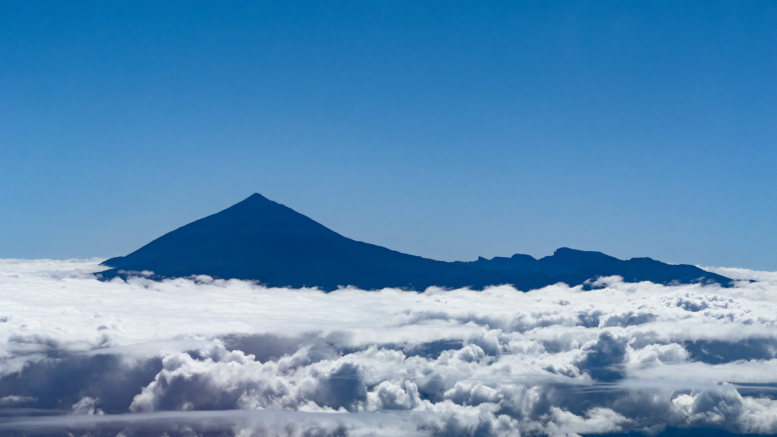
One of the most demanding trails in Spain that spans almost 30 km and gets you from sea level to almost 3,800m on top of still active stratovolcano that is the highest peak in Spain and any of the islands in Atlantic ocean.
Start: Playa del Socorro, Los Realejos (sea level, around 0 to 12 m)
Finish: Pico del Teide summit, 3,718 m
Distance: approximately 27.7 to 27.8 km one way (up to 53 to 56 km if descending back to the coast on foot)
Total accumulated ascent: around 3,680 to 3,812 m
Official estimated duration: 7 to 9 hours one way for fit hikers, though most trekkers take considerably longer, some splitting the climb over two to three days
Trail codes: PR-TF 41 (main route), with a short branch PR-TF 41.1 near El Portillo
Permit required: yes, for the final stretch above La Rambleta to the summit, obtainable free from the Teide National Park office
Best season: late spring to early autumn, when the upper mountain is free of snow and ice
Click on the map below to reveal dynamic map and details.
Trail Description
The route begins at Playa del Socorro on the north coast, where the PR-TF 41 waymarking picks up almost immediately from the beach. The first stretch climbs steeply through the terraced farmland and laurel forest belt above Los Realejos, passing landmarks such as El Lance, Lomo el Boliche and La Corona as the trail gains altitude through the Orotava valley.
Above the tree line, the path continues through pine forest and volcanic terrain via El Asomadero and Piedra de los Pastores, eventually reaching the rim of Las Cañadas at Degollada del Cedro. From here, the route enters the high volcanic caldera and skirts the base of the Riscos de la Fortaleza, a striking reddish-brown rock face that is a remnant of the ancient Cañadas Edificio, and a spot known for good views over pumice fields and mountain flora such as Teide white broom and codeso.
The trail then joins the Montaña Blanca ascent (PNT-07), climbing steeply across pale pumice slopes past the famous Huevos del Teide, large volcanic accretion balls, before reaching La Rambleta at around 3,555 m via cable car station terrain. From La Rambleta, the final summit push follows a narrow, permit-only path through sulfur vents and loose volcanic rock to the true summit crater rim of Pico del Teide.
Recommended Fitness Level
This is an extreme endurance trek, not a casual hike, and it should only be attempted by hikers with a high level of fitness and mountain experience. The combination of nearly 3,700 m of elevation gain, high altitude above 3,000 m, exposure to sun and wind, and a long single push (or overnight split) means this route is rated hard to very hard by almost every trail authority. Prior acclimatization to altitude, night hiking experience if starting in the evening, and comfort with steep, loose volcanic terrain are strongly recommended before attempting the full route.
Many experienced hikers choose to break the climb into two days, sleeping at the Altavista refuge near 3,260 m before finishing the summit push the following morning, which significantly reduces the physical strain and altitude risk.
Equipment and Duration
Expect a full day effort of 7 to 9 hours for strong hikers moving quickly, though total times of 12 to 20+ hours are common when accounting for breaks, altitude fatigue, and a full round trip back to the coast. Because the route spans sea level to nearly 4,000 m, conditions change dramatically, from warm coastal humidity to freezing, high-UV alpine air, so layering is essential.
Sturdy, broken-in mountain boots with good ankle support for loose volcanic scree
Trekking poles, especially useful on the steep pumice slopes of Montaña Blanca
Layered clothing: breathable base layers, insulated mid-layer, and a windproof/waterproof shell for the summit zone
Headlamp with spare batteries if starting before dawn or hiking through the night
At least 3 to 3.5 litres of water per person, plus electrolytes, since there are very few reliable refill points on the upper mountain
High-energy food: bars, dried fruit, and easily digestible snacks for sustained effort at altitude
Sun protection: high-SPF sunscreen, sunglasses, and a hat, as UV exposure is intense above the cloud layer
National Park summit permit (free, booked in advance) for the final stretch above La Rambleta
A satellite communicator or fully charged phone, given the remote and exposed nature of much of the route
Given the scale of this trek, most hikers arrange transport back from the Teide cable car base or a mountain refuge rather than retracing the full 27+ km back down to the coast on foot.