Basic Facts
The trail measures roughly 5.2 km one way (some trackers list 6.7 km including access sections) and takes about 2 to 2.5 hours to complete, more if hiked uphill in this direction. It’s a point-to-point route, so hiking it round trip means around 10.4 km total unless you arrange transport at the start.
Start: Casa do Barreiro (Casa do Abrigo do Barreiro), a mountain shelter in the Funchal Ecological Park, reachable from Monte
Finish: Poço da Neve, on the road up to Pico do Areeiro
Altitude range: approximately 975 m to 1,650 m above sea level
Elevation change: around 780 m, mostly gradual ascent
Entrance fee: around €4.50 for trail access
Click on the map below to reveal dynamic map and details.
The finish point is a landmark worth pausing at: Poço da Neve is an igloo-shaped stone pit built in 1813 to store mountain snow and hail, which was later carried down to Funchal to supply ice year-round.
Trail Description
The route begins at Casa do Barreiro, which also connects to Monte if you’re arriving from that direction. From here, a short detour to the Miradouro do Barreiro viewpoint makes for a good warm-up before the main climb.
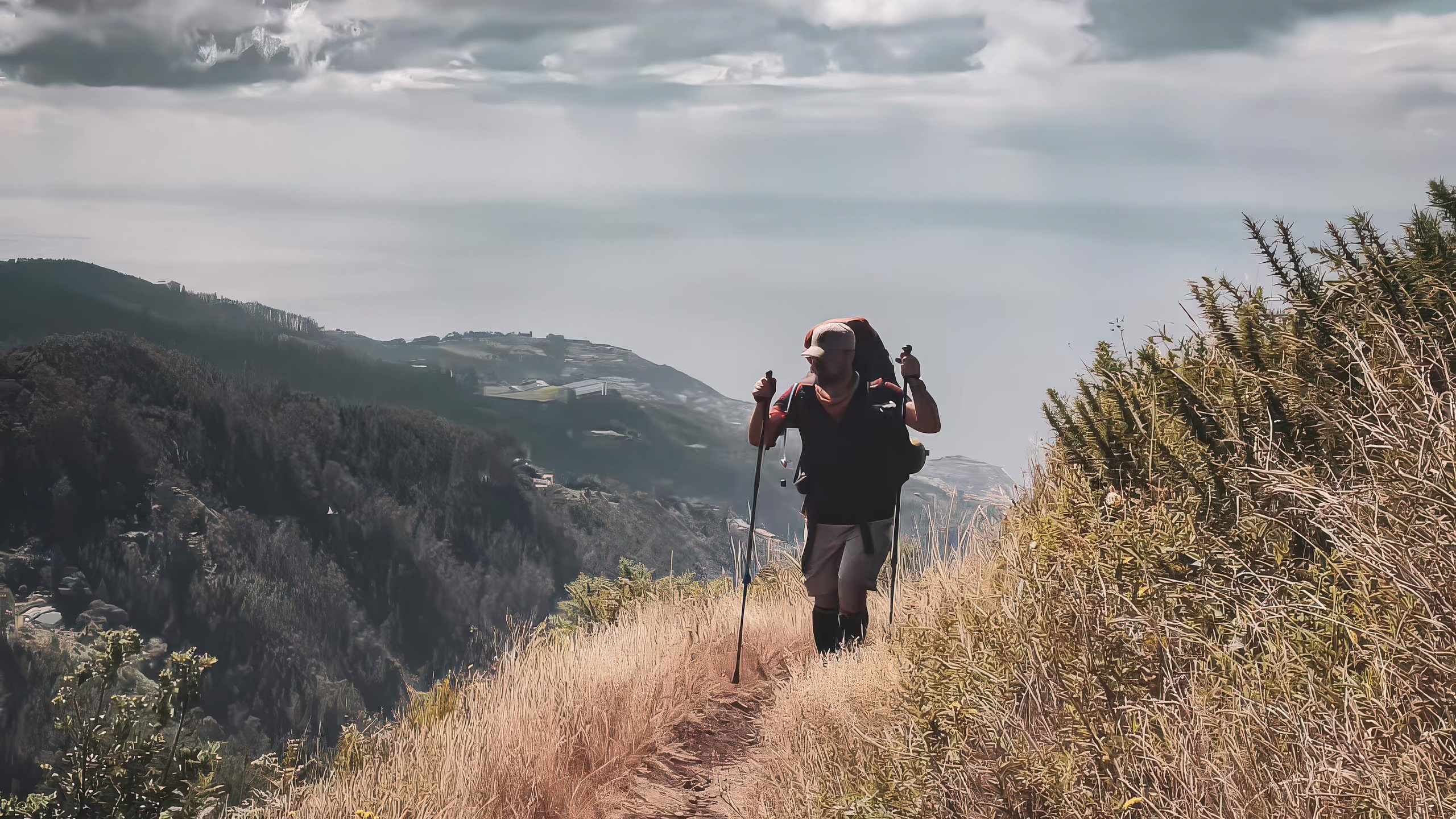
The trail then follows the Levada do Barreiro channel upward through the Ribeiro dos Frades valley, climbing toward the tributary’s source at around 1,647 m, one of the highest levada origins on the island. Along the way, the path offers wide, largely unobstructed views over the Santa Luzia valley and the city of Funchal below, without the crowds typical of nearby Pico do Areeiro.
After crossing a paved road, the trail climbs into a zone of high-altitude vegetation dominated by tree heath (urze) and mountain grapevines (uveira-da-serra), a plant community unique to Madeira’s upper elevations. The walk ends beside Poço da Neve, the historic 1813 snow pit, near the road up to Pico do Areeiro.
Recommended Fitness Level
Sources disagree somewhat here, which is worth flagging. Official Portuguese trail listings and most tourism sites rate the route “easy” or “low difficulty,” citing the well-engineered channel path. However, some independent trackers classify it as “moderate” to “hard,” largely due to the linear distance if you don’t arrange a pickup, and because the terrain above 1,500 m can be exposed, rocky, and cold.
Walking this direction (Casa do Barreiro to Poço da Neve) involves a steady climb rather than a descent, so it suits hikers with basic to moderate fitness and some uphill trail experience, especially anyone planning the full there-and-back distance rather than a one-way transfer.
Equipment and Duration
Duration: budget 2 to 2.5 hours one way, allowing extra time for the uphill sections, or a half-day if walking round trip and stopping for photos. Given the altitude, well above 1,500 m for parts of the trail, conditions shift quickly, so equipment should account for cold and wind even in summer.
Sturdy hiking shoes (terrain is rocky and can be muddy)
Warm layers plus a windbreaker, since you’re often above 1,500 m and it can be chilly and windy year-round
Sunscreen, as there’s very little shade along most of the route
Sufficient water, since there are no refill points en route
A plan for the return: either double back for a roughly 10.4 km round trip or arrange a car pickup or taxi at Poço da Neve
The best season to hike is year-round, though winter can bring notably cold and windy conditions at altitude, so check forecasts before heading out.